LOCAL SOLUTION WITH PIRITA 3D MAPPING!
By combining cutting-edge artificial intelligence and image processing techniques, we offer high accuracy and low cost!
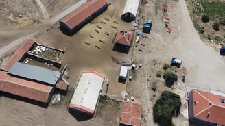
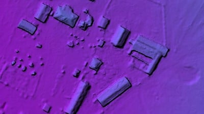
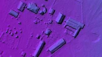
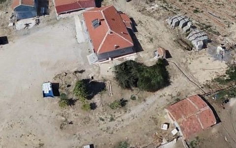
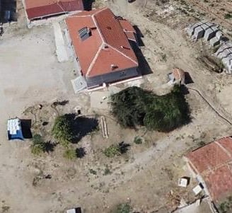
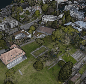
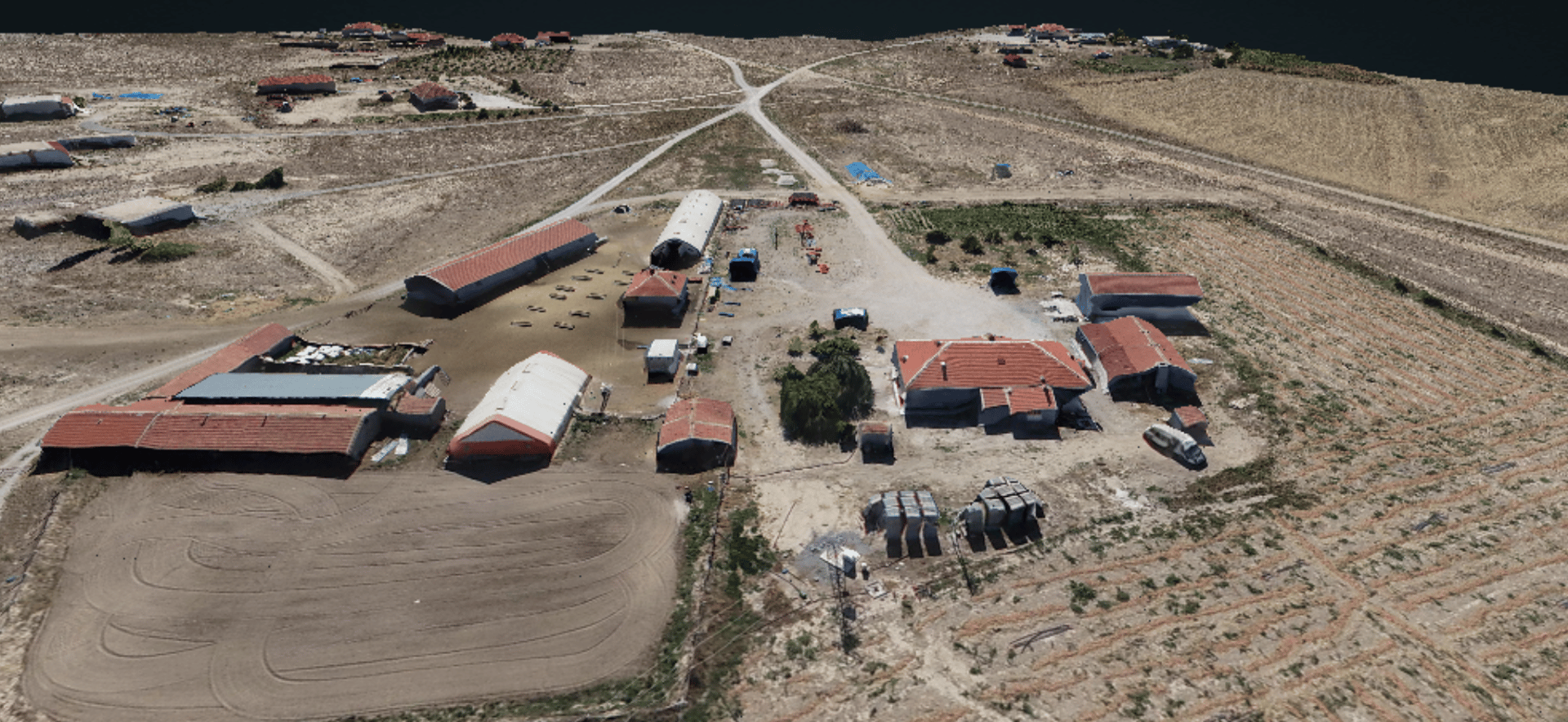
3D MAPPIING
SURFACE MODEL

By creating detailed three-dimensional models of natural areas and cities, Pirita contributes to the planning of environmentally friendly projects and supports sustainable infrastructure works.
Agriculture
Urban Planning
Infrastructure Projects
Mining
Disaster Management
Environmental Protection


MAPPING PROCESS
We eliminate the need for lidar sensors!
ADVANCED ARTIFICIAL INTELLIGENCE ALGORITHM
HIGH PRECISION AND RESOLUTION
with
We produce 3D maps by processing environmental data!
NATURE-FRIENDLY PIRITA

Artificial Intelligence Supported 3D mapping; LOCAL and NATIONAL!

You can contact us for more information!
Contact us between 09.00 and 18.00 for Drone technologies and PCB design.


+90 506 165 75 26
ABOUT US
We provide production and support for PCB board design, Drone and defense technologies.
CONTACT
Contact us
+90 506 165 7526
© 2024. All rights reserved.
Quick Links